
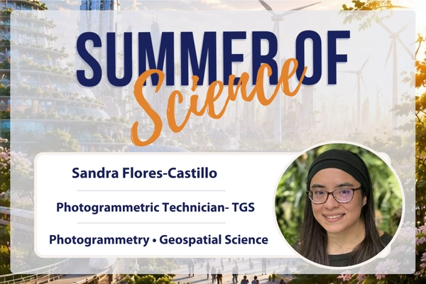
Sandra Flores-Castillo is a Photogrammetric Technician with the Minnesota Department of Transportation (MnDOT), where she uses aerial imagery and geospatial technology to create the mapping data that supports transportation projects across Minnesota. By transforming 3D aerial images into accurate maps, her work helps engineers and planners design, improve, and maintain the roads and bridges communities rely on every day. Beyond her technical role, Sandra is passionate about introducing students to geospatial careers and inspiring the next generation to explore the many possibilities within STEM.
A Day in the Life of a Photogrammetric Technician
What does a typical day in your role look like?
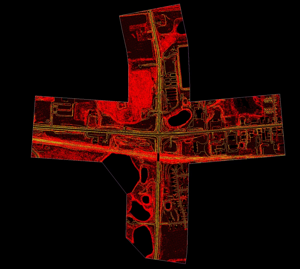
As a Photogrammetric Technician with the Minnesota Department of Transportation (MnDOT), I use aerial imagery and specialized software to create accurate mapping data that supports transportation projects across Minnesota. A typical day involves viewing aerial photographs in 3D, identifying roads, bridges, terrain, and other features, and producing mapping products that engineers and planners rely on to design, maintain, and improve our transportation system. I also enjoy sharing my career through STEM outreach, helping students discover the exciting world of geospatial technology.
How would you explain your field of work to a kindergarten class?
I help make maps from the sky! Airplanes take lots of pictures, and I use special computers to turn those pictures into maps that help people build safe roads, bridges, and places to travel.

The Path to Geospatial Technology
I earned my bachelor’s degree in Geography with a GIS emphasis from the University of Minnesota Twin Cities. My journey included internships and career pathway programs with the Minnesota Department of Transportation, where I explored different areas of transportation and geospatial technology. Each experience helped build my technical skills and ultimately led me to discover photogrammetry, a career that combines problem-solving, mapping, and technology in a meaningful way.
I’ve always enjoyed solving problems and learning how things work, but what truly inspired me was discovering how geospatial technology connects science, engineering, and real-world impact. Today, I’m excited knowing that the maps I help create support transportation projects across Minnesota. I’m equally inspired by sharing my STEM journey with students and showing them that careers like photogrammetry and geospatial technology exist, and that they can pursue them too.
Many people are surprised to learn that I wear 3D glasses at work! I use a specialized 3D stereo monitor to view overlapping aerial images in three dimensions, making it feel like I’m flying above the landscape as I create accurate mapping data.
My proudest achievement has been using my career to inspire others. Through mentoring students, speaking at STEM events, and sharing geospatial careers, I’ve helped young people discover opportunities they may have never known existed.
The Science That Moves Us Forward
How has your work/research helped drive discovery, innovation, or impact?
My work helps create accurate mapping data that supports transportation projects across Minnesota. These maps are used by engineers and planners to design, improve, and maintain roads and bridges, helping make travel safer and more efficient. Beyond my technical work, I also strive to create impact by sharing my STEM journey and introducing students to geospatial careers they may have never known existed.
Where do you see your work heading next?
I hope to continue growing in photogrammetry and geospatial technology while expanding my STEM outreach. My goal is to combine technical expertise with mentoring and education, helping more students discover careers in geospatial science and inspiring the next generation of STEM professionals.
How do you see your work helping shape the future of STEM?
I hope my work helps shape the future of STEM by making geospatial careers more visible and accessible. Through both my technical work and STEM outreach, I want to inspire more students to discover that they, too, can make an impact through science, technology, and mapping.

To a Future Scientist Just Starting Out
What advice would you give to your younger self / someone just starting out in your field?
Stay curious and don’t be afraid to explore opportunities you never expected. Some of the best career paths are the ones you don’t know exist yet. Keep learning, ask questions, and be open to new experiences, they may lead you exactly where you’re meant to be.
What are some strategies you use to maintain resilience and persistence in the face of obstacles?
I remind myself that growth takes time and that every challenge is an opportunity to learn. Staying curious, continuing to build my skills, and focusing on the impact I can have on others helps me stay motivated, even when things don’t go as planned.
What message would you share with future scientists about the power they hold to make a difference?
Never underestimate the difference one person can make. Your curiosity, ideas, and determination have the power to solve real-world challenges and inspire others to do the same. The future of STEM needs your unique perspective.